30th September-3rd October and 7th-10th October 2016: with Bath and Camerton Archaeological Society (BACAS).
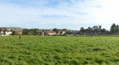
Spent a few days with BACAS carrying out geophysical survey of two sites in Stanton Drew. the first location was at Tithe Barn fields, just off Sandy Lane (image above) where resistivity and magnetometer surveying was done. Before the survey could be carried out there was a lot of moving of electric fences required as the fields were split into paddock areas for horses and ponies. The site itself slopes downwards to the north from Sandy Lane towards the River Chew where a former mill and associated leats is located. The underlying geology on the higher ground comprises bedrock of Mercia Mudstone Group of Triassic Age this if overlain on the lower river valley by superficial deposits of Alluvium – clay, silt, sand and gravel of Quaternary age. Some of the survey results might reflect this changing geology.
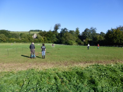
The second site of interest was the field opposite the Druids Arms public house (image below). This surprisingly elevated situation had extensive views (if the buildings were removed) of the stone circle sites and Maes Knoll is easily visible. Again carried out resistivity and magnetometer survey although unable to finish all the resi in the time allowed. There was some previous work carried out c.1996 but only an interpretation remains as the raw data has been lost.
A full report of the geophysical will be produced at a later date so I will not provide any interpretation of the results here.