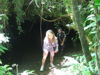
Summer holidays for the kids so taking a couple of weeks off to spend time with them. Another super day so decided to go for a walk up to Crook Peak and along Wavering Down. This is the same general location as Saturday’s excursion and the kid’s could not resist looking into Denny’s Hole.
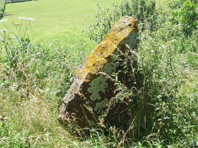
One of our objectives was to locate Scragg’s Hole which is close to Denny’s Hole and we found some interesting spots on the way. The location pictured below was interesting as it had evidence of relatively recent block breakdown.
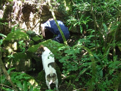
Very soon we had located Scragg’s Hole NGR ST 3964 5496 – a short but roomy cave containing a floor deposit of sandy thermoclastic scree. There has been archaeological excavation at the site, sporadically, between 1943 and 1953 revealing some Romano-British occupation.

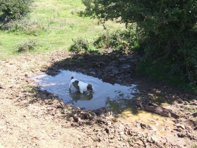
Then it was out of the shade into the sunshine up to Crook Peak and over Wavering Down. Almost too hot for dogs.
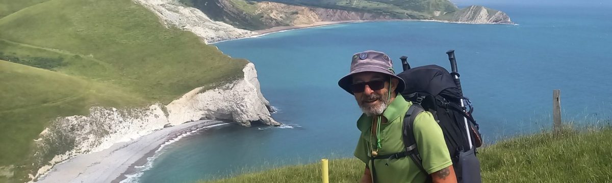
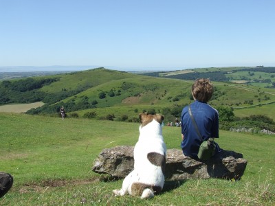
Very satisfying to look back to where you have been. From Wavering Down looking west to Crook Peak.
At the top of the walk, now a drop down off the hill and stroll back across fields to Compton Bishop and the van. A very warm day.

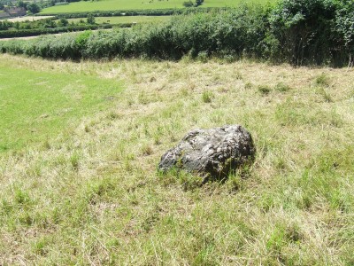
Noted a couple of [possible] boundary stones along the way to Compton Bishop, they are not marked on the OS 1:25 000 Explorer Map 153 – Weston super Mare & Bleadon Hill.