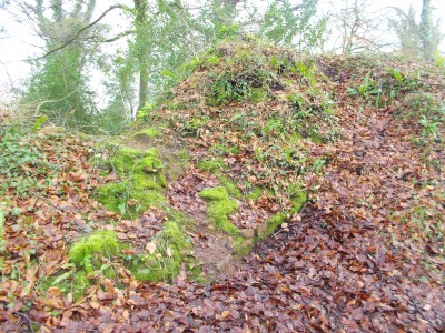
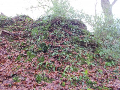
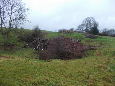
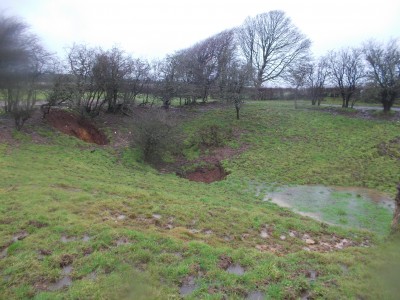
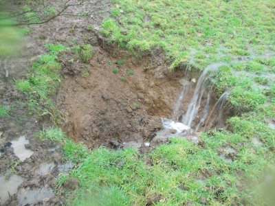
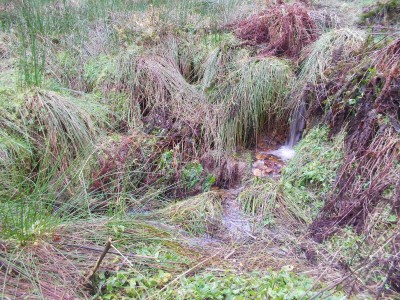
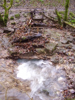
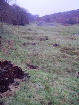
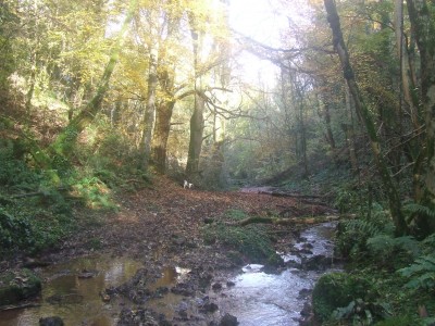
17th March. A Sunday stroll along the north facing cliff in Primrose valley, Ebbor and a peek at some of the smaller cave sites that are located here.

Cook’s Hill Hole, NGR ST 5216/4845. An Iron Age skeleton was uncovered when the cave was opened up by diggers in the 1950’s.

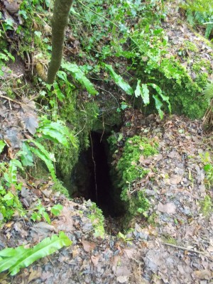
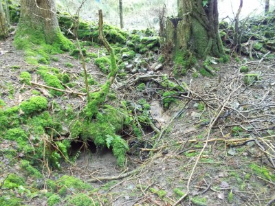
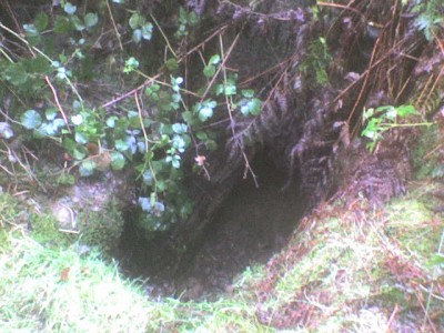
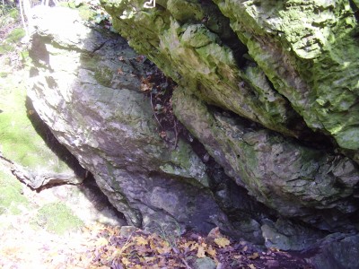
Twin Cracks, NGR ST 5218/4841. The hole to the right appears, at present, to be occupied by badgers.

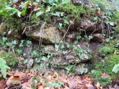
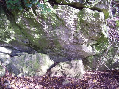
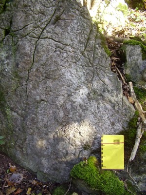
Triassic Tube, NGR ST 5224/4837. A phreatic tube with possible Triassic deposits in roof [not sure of this description].

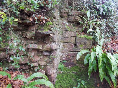
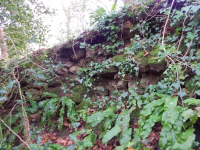
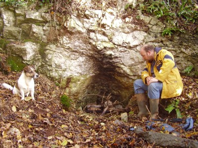
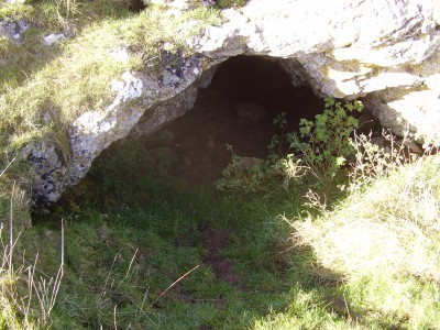
Bracelet Cave (Hope Wood Cave), main entrance NGR ST 5229/4833; HER 24334. Excavated in 1955 by E.J. Mason who revealed the remains of nine skeletons, associated with RB pottery of C1-2, overlying a barren muddy thermoclastic scree. Outside the cave a plain gold bracelet with trumpet shaped ends, probably mid to late BA was recovered. The bracelet is not necessarily connected to the bones, and no pottery or other items was found. Two chert blade implements of Upper Palaeolithic type were found unstratified beneath a vertical natural chimney at the inner end of the main chamber.

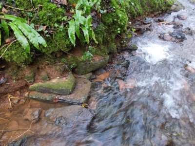
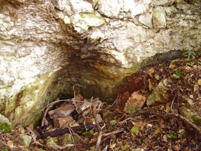
Bracelet Cave looking up through the natural chimney from inside main entrance