

28th December 2012 and another damp day for a walk about. Decided to go up through Harptree Combe to Smithams Hill and into Harptree Woods.
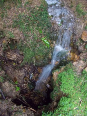
In the woods we visited a relatively recent dig site of mine – Harptree Woods Sink (NGR ST 5503/5433), a site I was originally attracted to because of the amount of water that was flowing into it. A double depression in the woods has a number of drainage ditches running into it and at times has been seen to take a substantial amount of water. The sink is developed within the Harptree Beds and there are exposures of this rock type evident in the depression sides (see image below). Since my last digging trip there has been some slumping of material and flood debris has also washed in so access to the small chamber below the entrance was not possible. Harptree Beds are not the best of material for digging and are generally fractured making it unstable, silicified and contain large amounts of clay.

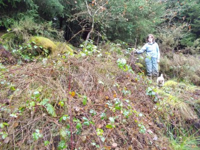
Water can be seen sinking in a number of other spots within the depression, there is one among the brambles (see image below), and there was evidence of recent high water levels.
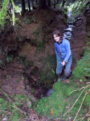
Potential is probably limited as the depression is located at a higher level, just above Frances Plantation Swallet (see image below). The majority of water flowing into this particular sink comes from a separate source to the west of the plantation.
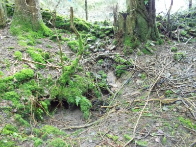
This site was dug by the Wessex Cave Club (WCC) in the mid-1960’s to a depth ~3m in Red Marl or Dolomitic Conglomerate and has been abandoned for decades. There are a number of other depressions in the woods including Smitham Sink (see image below). This site was scratched at in 1976 by the WCC, to no real conclusion.
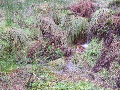
Smitham Sink has always taken a ‘good’ flow of water, unfortunately, the potential for significant cave development is probably limited.