26th February 2017: Cowleaze Lane to Compton Martin.
From Ridge Lane, West Harptree across fields to join Cowleaze Lane. At the top of the lane, just before crossing the road, is a good spread of snowdrops.

Over the road, leaving Cowleaze Lane to cross the field to the Wrangle, Compton Martin. Stopped to take a look at the rag well, that appears to have sprung a leak. The water is flowing out through the tank rather than over the spout.

Up the Wrangle for a short distance before taking the path, west, across fields, Here, in this field are some lynchets, evidence for land usage in the past.

Primrose’s in flower must be a sign that spring is not too far away.

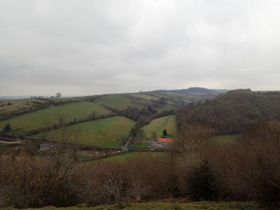
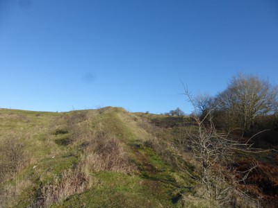
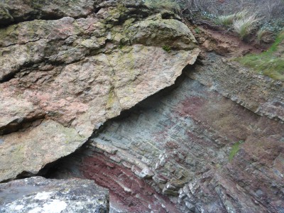
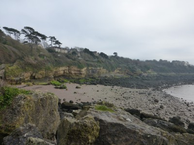
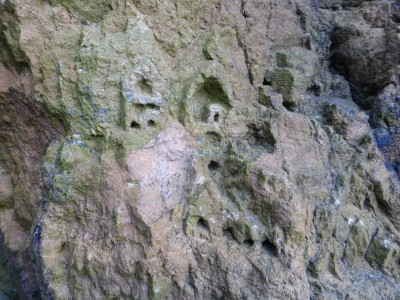
From the combe at Compton Martin, took the steep path up the hill towards Hazel Manor. Passing the quarry where good exposures of Oxwich Head Limestone of Carboniferous age can be seen. At the top of the ridge, took the path east to re-join the combe. From the ridge are some fine panoramic views across the Chew Valley. Sadly, views that will be lost in the future as the recent planting of trees will grow and block out the vista.
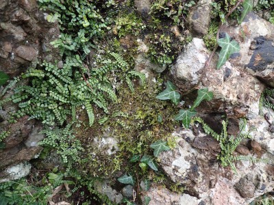
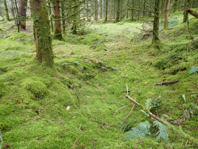
Down through the combe, resplendent in mossy green-ness. There is an abundance of scarlet elf cups, not only here but elsewhere too. There are also fine spreads of snowdrops, but these are now past there best.

I didn’t make the steep climb up to the ochre mine today, but returned to West Harptree by reversing the route walked.